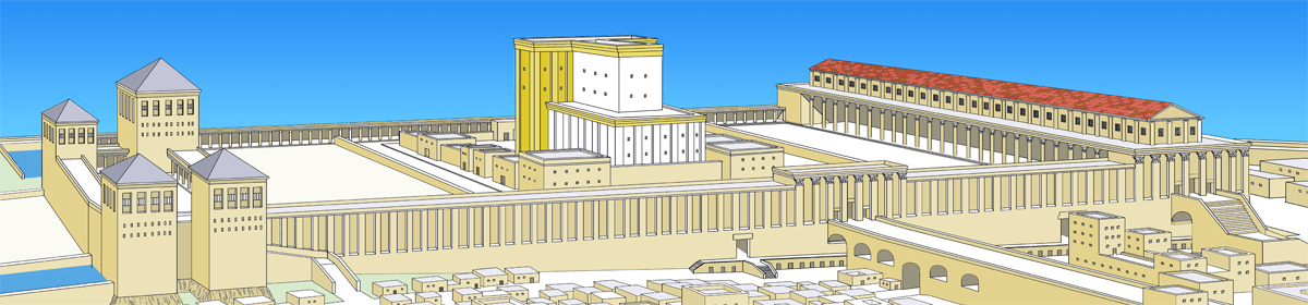
What is the meaning of the name of Beth-horon? Beth (בית) can mean a house, a dynasty, a place or city. The Hebrew root of horon is hor (חור), which has been translated as holes, caves or caverns[1].
One of the early explorers, Dean Stanley, visited Beth-horon in 1883 and translated the name of the place as the “House of Caves”. He said that “three or four deep caverns are said to exist on a hill immediately south of Upper Beth-horon.”[2] Beth-horon could therefore be translated as a Place of Caves. According to 1 Chronicles 7:24, both Beth-horons were built by Sheerah (or Shera), the daughter of Beriah who was one of the sons of Ephraim.
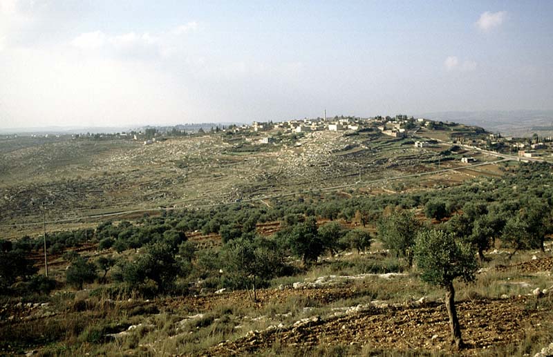
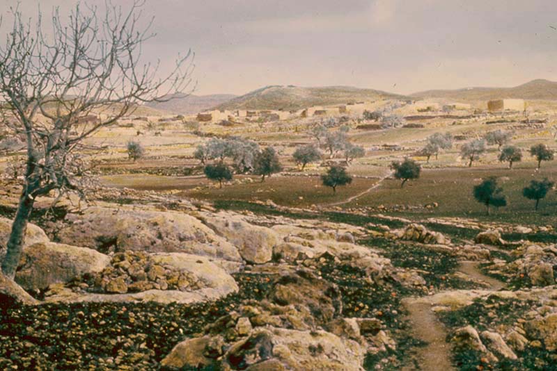
The geology of the Judean Hills consists of layers of hard and soft limestone. When rainwater penetrates these layers it dissolves parts of the softer layers, creating natural caves and underground quarries. These caves are often large enough for hiding in as in the example of Jonathan and his armour bearer climbing up to the Philistine garrison in Michmash (1 Samuel 14:6-14).
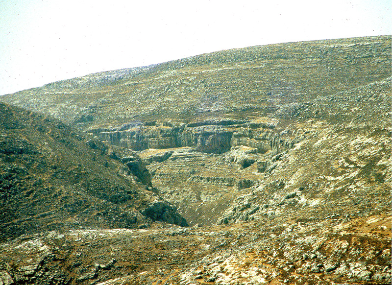
When the Philistines saw them, they said, “Look, the Hebrews are coming out of the holes where they have hidden.” The word for holes is horim (plural of hor) from the same root of hor. Obviously, these holes were large enough for people to hide in. The mountains of Judea and Samaria are riddled with caves and caverns.
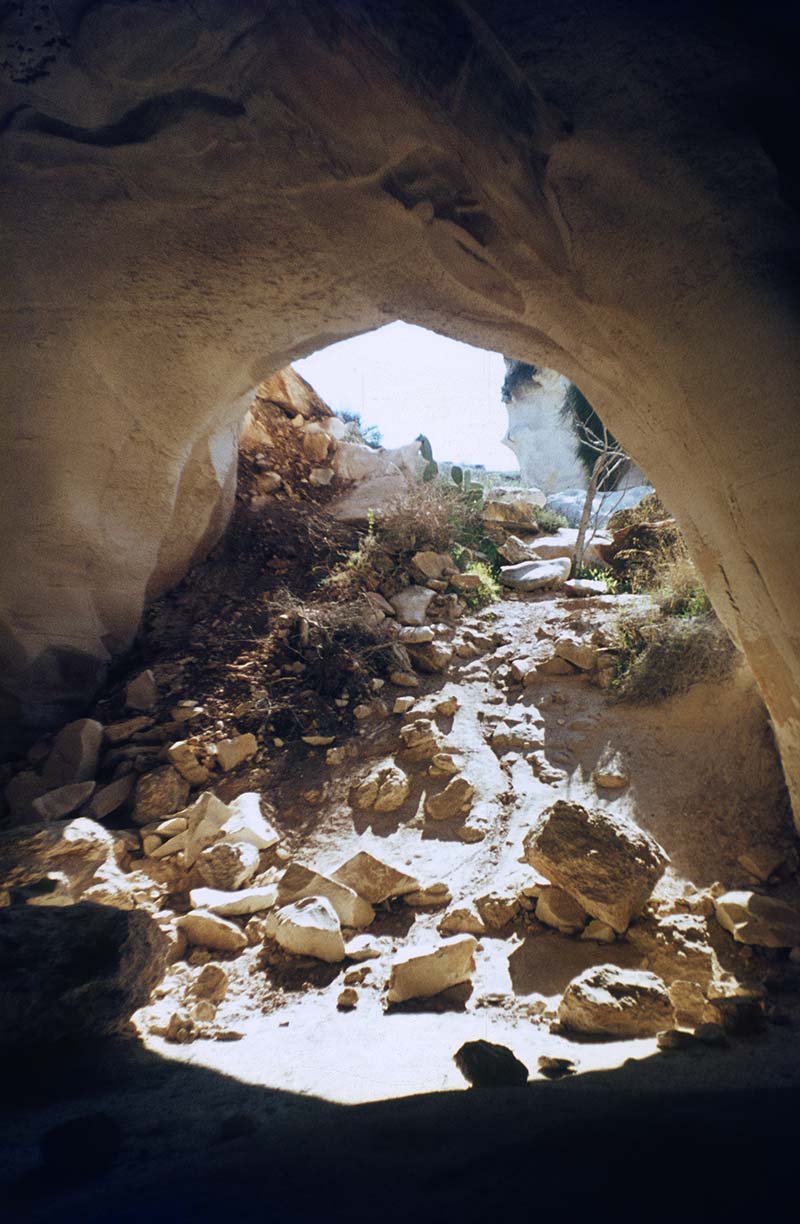
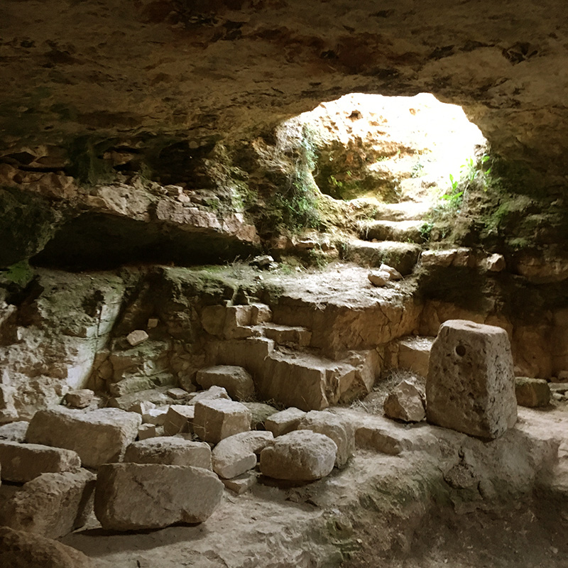
What is the importance of these observations? It is plausible that the descendants of Elizaphan used to live in Upper or Lower Beth-horon. Both Beth-horons were located near the Valley of Aijalon. Upper Beth-horn was built on a high hill, but the whole of the coastal plain can be seen from Lower Beth-horon. This twin city was connected to Jerusalem by a well-paved and relatively short (16 km or 10 miles) road that made travelling easy. This distance could be traversed on foot in about three hours. These descendants of Elizaphan were responsible for the Ark of the Covenant. In a time of peace, they could dedicate themselves to other Temple services. However, if they suspected that the Ark was in danger of being damaged or destroyed, they would have taken it to their homes, or in extreme danger hide it in one of these caves, perhaps in the hill south of Lower Beth-horon, the place where three tribes met. That may have happened when they understood that the Babylonians were going to invade the country and possibly destroy the Temple. These Levites would have hidden the Ark in a cavern and sealed off the opening, hoping that, if they survived and the Temple wasn’t destroyed, they would be able to come back and reinstall the Ark of the Covenant back in the Holy of Holies of the Temple. Unfortunately, that never happened.
Another thing to examine is what David said in Psalm 132, vowing to “find a place for Yahweh, a dwelling place for the Mighty One of Jacob. Behold we heard of it in Ephratah; we found it in the fields of the wood” (Psalm 132:5,6) In Hebrew, the words for ‘fields of the wood’ is s’de ya’ar. Kiriyat Yearim means the city of the woods. From this place David took the Ark to Jerusalem, but here it speaks not of the city but of the fields of the wood. This Psalm, although rooted in the context of David’s life, speaks of a future time when the priests shall be clothed with salvation (vs. 16).
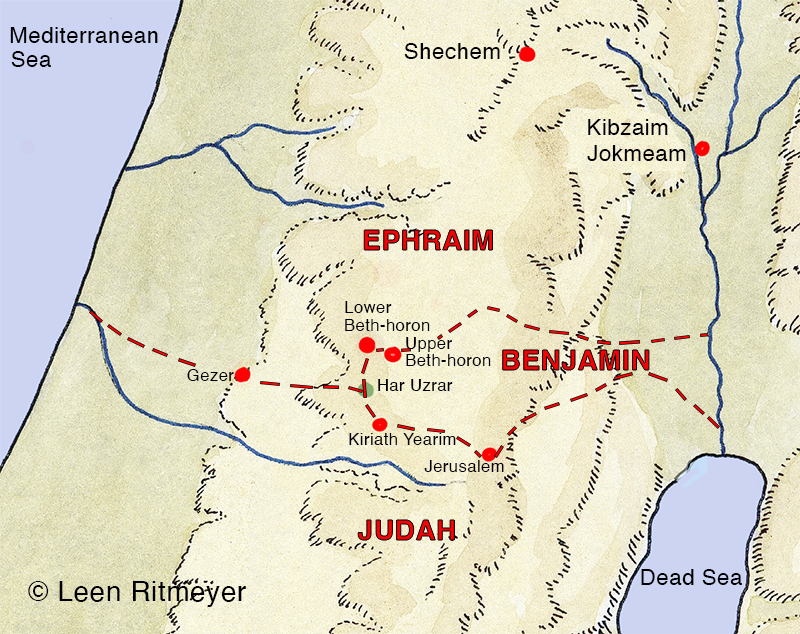
Our research has enabled us able to focus on a valley that was approximately 8 km (5 miles) wide between Lower Beth-horon and Kiriyat Yearim as a possible location of the hiding place of the Ark of the Covenant.
Or perhaps we could zoom in to that hill south of Lower Beth-horon. There is one outstanding mountain between Lower Beth-horon and Kiriyat Yearim, and that is called in modern Hebrew Mount Uzrar, it rises 538 meters (1,765 feet) above sea level in the Judean Hills.
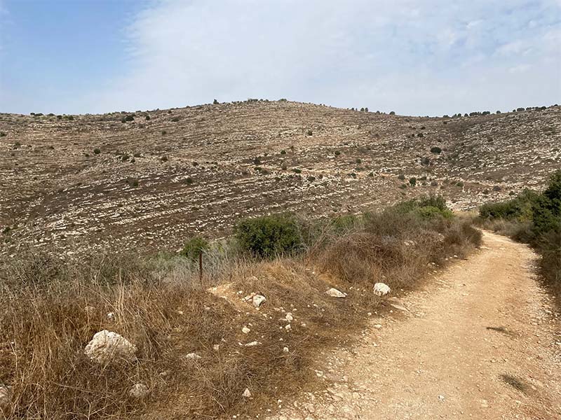
That mountain is directly south of Lower Beth-horon in the exact location as described in Joshua 18:13–14. There are many caves in Mount Uzrar.
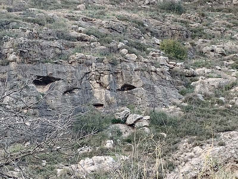
Could that be the mountain where the boundaries of the three tribes of Ephraim, Benjamin and Judah are connected? That mountain has the potential to unite these three tribes in times of danger or to defend the central mountain range when attacked. Similarly, Mount Tabor was the common boundary of the tribes of Issachar, Zebulon and Naphtali who rallied there in the time of Deborah and Barak. Could it be that the Ark of the Covenant is hidden here or on the lower slopes of Lower Beth-horon? The distance between these two places is 6 km (3.7 miles). That may not sound much, but that is still an extensive area to investigate.
By combining biblical texts with archaeology and geography, I believe that it is possible to pinpoint the location of the Ark of the Covenant to within an area of about 6 km (3.7 Miles). We cannot be certain and need to remember the meaning of Elizaphan’s name “My God has hidden”. However, if it is in God’s purpose and the time is right, we believe that the Ark of the Covenant may be found again and have a future role to play. We just need to watch, pray and wait.
[1] Brown, F, Driver, S.R. and Briggs C.A. (1962) Hebrew and English Lexicon of the Old Testament, p. 357, hollows, caves or caverns.
According to the Abarim Publication’s Biblical Etymology Dictionary, hor means a cave or a hole.
[2] Stanley, A.P. (1883). Sinai and Palestine in connection with their history (London), p. 208.